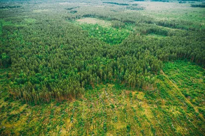
A Philadelphia-based company, Treeswift, has created a drone called SwiftCruise, that can maneuver below the forest canopy and gather plentiful data from heavily-forested areas. The drone uses a combination of cameras, sensors, and machine learning algorithms to collect measurements of each individual tree. Why do we need these drones to collect these data? Well, the answer is to provide software and data to stakeholders in natural resource management regarding carbon capture estimation, timber value appraisal, fire mitigation, biomass understory, deforestation monitoring, advanced growth forecasting, and overall forest management. The idea is that drone-based software systems like SwiftCruise will provide data that can lead to nature-based solutions in forestry over the coming decades.
The traditional way of capturing forest data was to use a satellite or plane. However those methodsare only able to capture data from the tops of the trees and nothing beneath the forest canopy. Employing SwiftCruise’s algorithms, the drones can go below the canopy and are able to collect data ten times faster than traditional methods.
These drones and the software systems on them will help gather more transparent, verifiable, and accurate data about our forests.


 />i
/>i

